Home > Drone UAV > Miltirotor > An Intelligent Aerial Survey System To Meet high Ease Of Use, High Efficiency, High Precision Aerial Survey Applications


An Intelligent Aerial Survey System To Meet high Ease Of Use, High Efficiency, High Precision Aerial Survey Applications
- Item No. : E2000S
Features & Applications
● Image-free graphics
● Long flight time, high efficiency, high reliability
● Dual differential antennas
● Precise terrain follow flight function
● Automatic obstacle avoidance function
● One-stop software solution, advanced full-performance imaging workstation
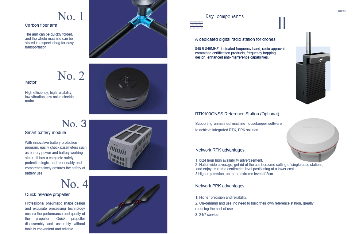
● Support network RTK and PPK solving services
- Inquiry now
Technical Specifications
|
SYSTEM PARAMETERS |
Sensor Size |
23.5x15.6mm (aps-c) |
|
Lens Parameters |
25mm fixed focus |
|
|
The Maximum Speed Of The Aircraft |
20m/s (when the aircraft is tilted 25 degrees) |
|
|
Endurance |
60min |
|
|
Cruising Range |
50km |
|
|
Navigation Satellite |
GPS, BeiDou, GLO |
|
|
Power Mode |
Electric |
|
|
Operating Temperature |
-20~45° |
|
|
Maximum Climb Speed |
8.0m/s (manual), 5.0m/s (auto) |
|
|
Maximum Descent Speed |
5.0m/s (manual), 3.0m/s (automatic) |
|
|
Take-off And Landing Mode |
No remote control vertical take-off and landing |
|
|
Measurement And Control Radius |
10km |
|
|
Task Response Time |
≤10min for expansion and ≤15min for withdrawal |
|
|
Wind Resistance |
6 (10.8~13.8m/s) |
|
|
The Maximum Take-off Altitude |
4000m |
|
|
Differential GPS Update Frequency |
20Hz |
|
|
Hover Accuracy RTK Horizontal |
1cm+1ppm vertical 2cm+1ppm | |
| DIMENSIONS (WITHOUT PADDLES) |
The Total Weight Of The Machine |
2.8kg |
|
Symmetrical Motor Wheelbase |
598mm |
|
|
Expand |
495×442×279mm |
|
|
Folding |
495×442×143mm |


Related products
CopyRight © 2022 geodexinstrument.com Powered by semcms PHP 4.2


