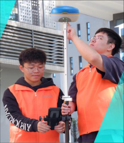
Guangzhou Institute of Technology UAV surveying and mapping knowledge practice exchange meeting
Guangzhou Institute of Technology UAV surveying and mapping knowledge practice exchange meeting
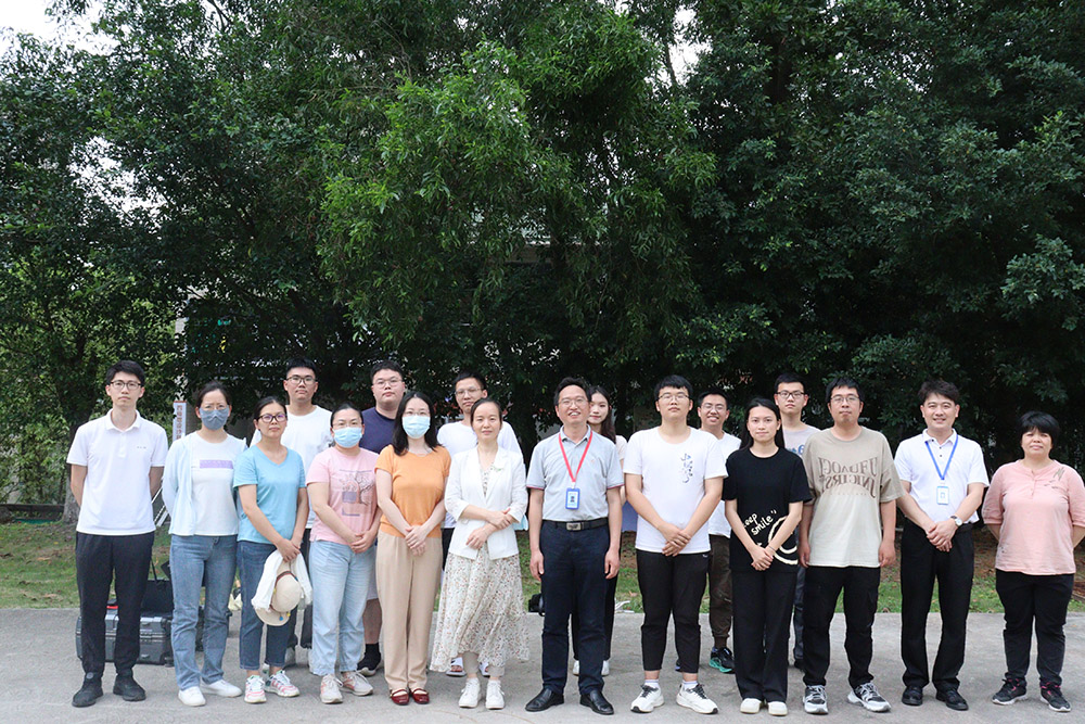
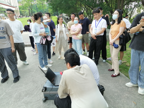
The departments participating in this UAV surveying and mapping knowledge practice exchange meeting include the Department of Management Engineering, the Department of Civil Engineering, and the Department of Architectural Engineering of Guangzhou Institute of Technology. The leaders and teachers who attended the event mainly included: Dean Hou Qinghua of the School of Architectural Engineering of Guangzhou Institute of Technology, Director Ma Guanhua of the School of Architectural Engineering of Guangzhou Institute of Technology, Director Zhou Yuwei of the School of Architectural Engineering of Guangzhou Institute of Technology, and many teachers of the school.
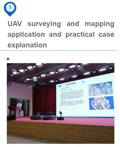
UAV platform surveying and mapping application knowledge
The wide application of drones in the field of surveying and mapping, such as social practice in land surveying and mapping, urban planning, water conservancy projects, environmental monitoring,disaster monitoring, forestry management, etc. Mainly in the detailed social practice of land surveying and point cloud. Through experience exchange in social practice, Pegasus UAV D2000S, E2000S, and laser laser handheld SLAM100 shine in most social practice cases.The accuracy of 3D modeling reaches within 5 cm, and the accuracy of radar point cloud reaches 3. centimeter precision.
Application of point cloud data in smart 3D
point cloud data in topographic surveying and mapping,real estate surveying and mapping,square calculation,underground space, caves,roadways,volume measurement,ancient building protection and restoration,digital management,reverse engineering,completion measurement, forestry survey, facade measurement, etc.Application introduction and case explanation. Point cloud is widely used in BIM model, restoration and reconstruction of buildings,and digital engineering automation modeling. In these applications, the slam 100 handheld lidar plays a key role, with convenient collection, simple operation, and high point cloud accuracy. Its advantages are demonstrated in wide practical application and so on.
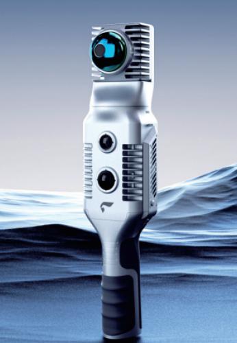
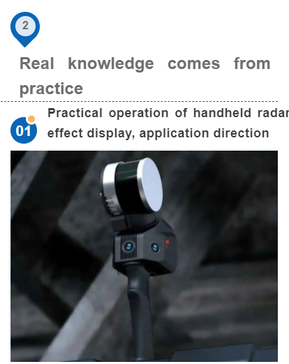
Slam100: This is a handheld LiDAR that can be used indoors, in caves, underground parking lots, forestry, mines, factories, and oil pipelines.
Advantages: high precision, strong penetrating ability, clear structure, wide coverage area, clear details, and with the 360 panorama function, it can restore the realization situation more clearly, and it is easier to draw its realistic appearance,transformation, security monitoring, etc.
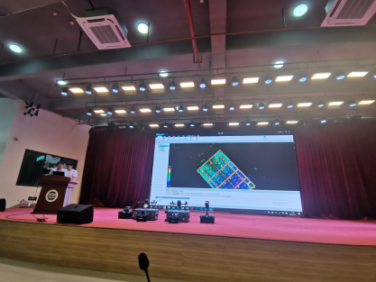
Point cloud effect display: The large-screen students scanned the hall with us, deleted some roof point clouds, and clearly showed the modeling graphics of the interior point cloud effect, and we can also cut out the details for a closer look
We can see the details of people, seat fans, pipe arrangement, etc. clearly. If you can’t see clearly, you can add a 360 panorama when scanning the point cloud to reflect the indoor environment more clearly.
D2000Spractical operation,effect display, application direction
D2000S: This is a fully autonomous flying UAV. It only needs to draw the route on the ground, and it is a fully automated UAV that flies according to the route. Avoid the risk of bombing.
advantage:
1.Free from image control to form a map.
2.Long endurance, high efficiency and high reliability.
3.Accurate terrain following flight.
4.Automatic obstacle avoidance.
5.One-stop software solutions, advanced full-result imaging workstation.
6.Active service based on Pegasus Cloud, 7. Support network RTK and PPK settlement services.
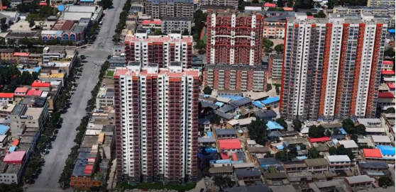 Tilt effect display
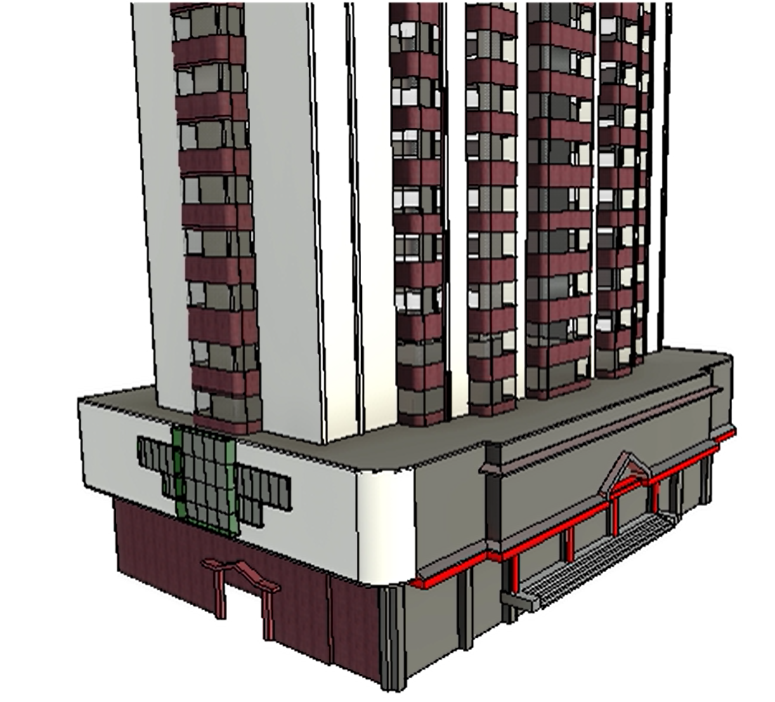
As a new technology, oblique photogrammetry has broad prospects in 3D modeling and engineering measurement. Because oblique images provide users with richer geographic information and a more friendly user experience, this technology has been widely used in emergency command, homeland security, urban management, property taxation and other industries.
Application of BIM model
1.Early design
2.Process construction,management supervision
3.Later acceptance.
4.Old building management and renovation.
Status quo: Companies large and small around the world not only integrate drones into their daily workflow, but also rely on the data collection capabilities provided by drones as they save significant time and cost compared to traditional data collection methods . UAV low-altitude photogrammetry technology is fast, efficient, flexible, high resolution, and fast processing speed. Future development New drone surveying and mapping applications are booming in different industries. The application of new technologies makes our surveying and mapping work easier and more interesting.
1. Upgrade of sensor technology
The replacement of sensor technology makes it conform to the development of the times, so that it can be displayed on UAVs. Typical cases of Pegasus: single-lens, five-lens, hyperspectral, multi-spectral, lidar, infrared imaging, etc. can be mounted on UAVs
2. Artificial intelligence technology
With the rise of drone technology, artificial intelligence can use AI to draw routes, intelligent data processing, intelligent analysis and so on. AI will make drone mapping and mapping even easier.
3. Autonomous control technology
For example, some surveying and mapping are still semi-manual and semi-automatic technically, and they are not yet fully autonomous. Imagine that the operator does not control a single drone, but controls ten or hundreds of autonomous flying drones, and the control system divides them for them. Mapping range and real-time flight path tracking, UAV equipment can dynamically and automatically correct the flight path according to the position of other devices.


